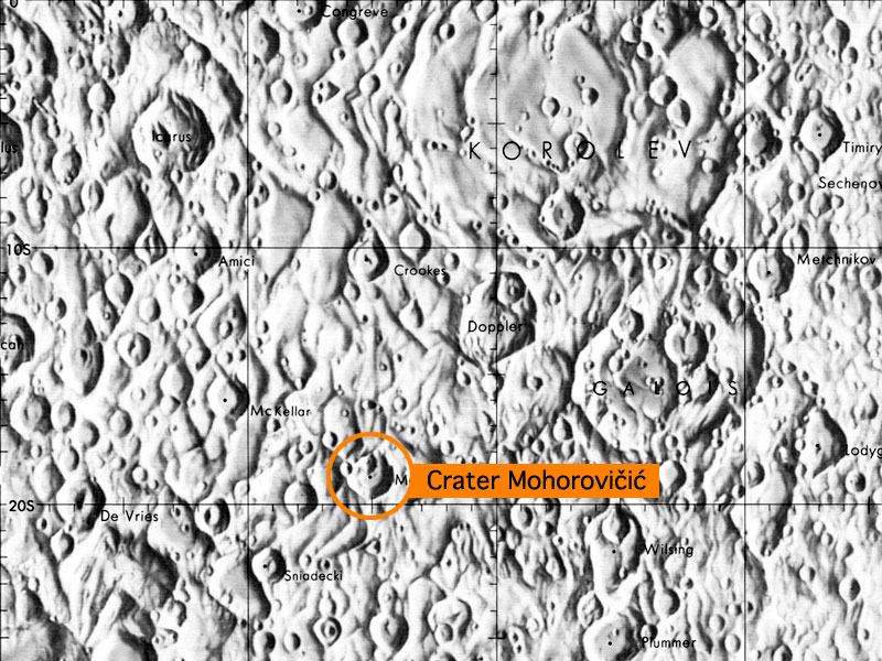
 Crater Mohorovicic is located on the far side of the moon.
The first evidence for the layered structure of Earth came from the analysis of seismic waves from a 1909 earthquake near Pokupsko, in the Kupa River Valley in modern day Croatia.
Andrija Mohorovičić (1857–1936), a Croatian geologist, noticed that P waves from this earthquake that had traveled deeper in the Earth actually arrived sooner than P waves that had traveled near the Earth’s surface. Mohorovičić concluded that the only way this could happen was if there was a rigid layer below the crust where seismic waves traveled faster because of the increased density of the rock. This boundary under the crust also appeared to be very sharp, and very well defined. This boundary, now called the Mohorovičić Discontinuity, or Moho for short, marks the separation between the crust and the mantle.
The location of the Mohorovičić Discontinuity is not uniform, and varies depending on the amount of crust above it. Under oceanic crust the Moho can be found at depths up to 10 km (approximately 6 miles), while its depth under continental crust can vary up to a depth slightly in excess of 70 km (approximately 43 miles) under large mountain ranges like the Himalayas. Andrija Mohorovičić is today considered to be one of the founding fathers of seismology.
Learning Activity
How does the thickness of the Earth’s crust vary with location?
Click here to view a map of the Earth with contour lines showing crustal thickness.
- Is there a connection between crustal thickness and land or water?
The greatest crust thickness is always over land. Crustal thickness over water is much shallower and is fairly uniform compared to thickness over land. - Identify the two areas of greatest crustal thickness.
The Himalayas in Asia and the central Andes Mountains in South America are the two areas of greatest crustal thickness. - Why are there no contour lines greater than 10 km in oceanic areas?
The thickness of oceanic crust does not exceed 10 km. - Locate your approximate location on the map and determine the crustal thickness beneath you.
Answers will vary depending on your location. - This kind of map that includes lines of equal thickness in rock layers is known as an isopach map. How is an isopach map different from the kind of contour map that you are most familiar with?
A regular contour map measures lines of equal elevation, while the isopach map measures lines of equal rock depth.